| Distance: | No data |
| Minimum elevation: | No data |
| Maximum elevation: | No data |
| Elevation gain (~): | No data |
| Elevation loss (~): | No data |
| Duration: | No data |
Tour description:
This compact but demanding gravel tour combines Tramin’s steep climbs with wide panoramic views, historic wine villages, and culinary highlights along the South Tyrolean Wine Road. It’s the perfect half-day route for active leisure cyclists who enjoy pairing effort with culture, landscape, and local flair.
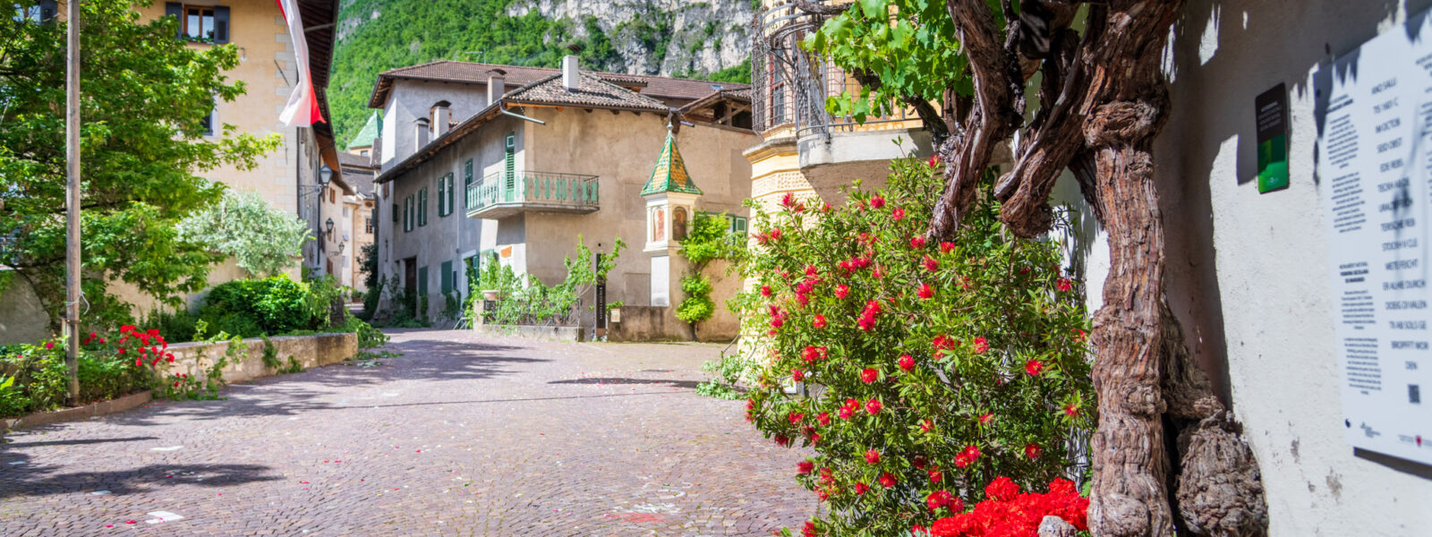
Starting at the main square in Tramin, the route climbs steeply via Schneckenthalerstraße through the charming Bethlehem quarter to reach St. Jakob, where a quick stop at the small hilltop church is rewarded with sweeping views of the valley below.
From there, you continue on asphalt along the Kastelaz Trail, which soon turns into gravel and leads through a forest path toward Kurtatsch. A quiet side road through the Rain quarter and then the Mühlweg takes you downhill to Entiklar. At the foot of the vineyards, the Tiefenbrunner Winery’s farmhouse tavern invites you to a relaxed break with regional dishes and a beautiful garden setting. Afterwards, the Wine Trail to Margreid begins – steep at first, then leveling off – always accompanied by the scent of sun-warmed vines.
In the historic village of Margreid, you can stop at the Gasthaus Hirschen or simply wander through its medieval alleys. The return route leads along the South Tyrolean Wine Road back to Kurtatsch, where more refreshment options await. The final stretch follows the Runggner Weg back to Tramin, with one last sweeping view of the valley.
Recommended equipment:
A gravel bike, touring bike with appropriate gearing, or an e-bike is recommended. Wearing a helmet as well as bringing sun and weather protection is advisable. A water bottle should be taken along — there are refreshment stops available along the route. The tour is best enjoyed in dry conditions.
Highlights and tips:
Tour summary:
| Distance: | No data |
| Minimum elevation: | No data |
| Maximum elevation: | No data |
| Elevation gain (~): | No data |
| Elevation loss (~): | No data |
| Duration: | No data |
 Goldene Traube, Panorama & Überbacherhof. B&B, apart., re...
 Söllerhof. Modern appartments. Large terrace in the vines
 Hotel Pernhof. Suites & Apartments, restaurant, sauna
 Vineus. New! Appartments, suites and rooms