| Distance: | No data |
| Minimum elevation: | No data |
| Maximum elevation: | No data |
| Elevation gain (~): | No data |
| Elevation loss (~): | No data |
| Duration: | No data |
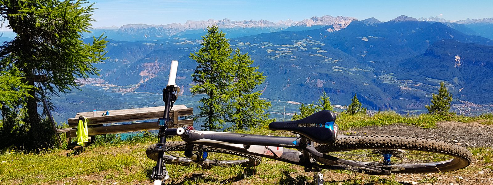
Here it’s not about having the best time, simply about finishing. Overcome your inner fears and return next year to take on the mountain once again. And of course at our ‘Verbrenntes Egg’ we have also got a great view.
Depart from the festival square in Tramin, and from there in the direction of Söll. At the outer limits of Tramin turn left in the direction of Rechtental castle and then always uphill. Once you’ve arrived to Zoggler forest road turn left in the direction of Graun. In Graun turn right on Lochweg path up the mountain to Grauner Joch saddle. Turn right here again to ‘Verbrenntes Egg’.
| Distance: | No data |
| Minimum elevation: | No data |
| Maximum elevation: | No data |
| Elevation gain (~): | No data |
| Elevation loss (~): | No data |
| Duration: | No data |
 Goldene Traube, Panorama & Überbacherhof. B&B, apart., re...
 Vineus. New! Appartments, suites and rooms
 Söllerhof. Modern appartments. Large terrace in the vines
 Hotel Pernhof. Suites & Apartments, restaurant, sauna