| Distance: | No data |
| Minimum elevation: | No data |
| Maximum elevation: | No data |
| Elevation gain (~): | No data |
| Elevation loss (~): | No data |
| Duration: | No data |
Tour description:
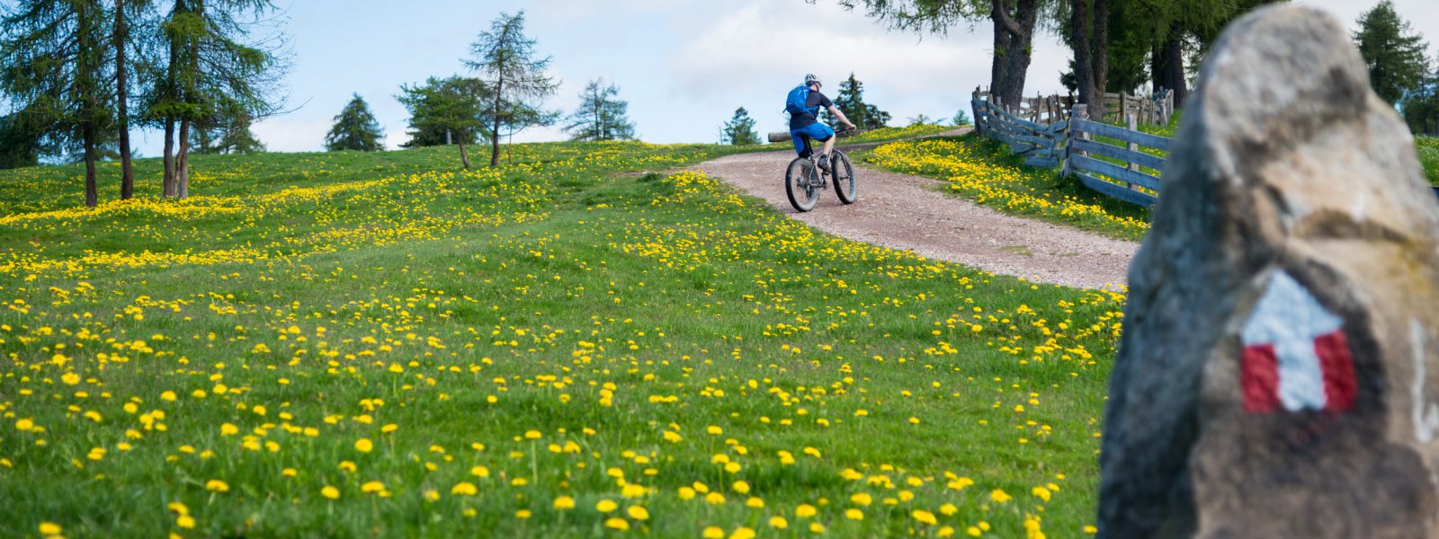
This extensive mountain bike tour connects Alpine highlands with Mediterranean valley floors – and offers magnificent views, diverse landscapes, and a true long-distance experience. From Tramin, you cycle north along the Etschtal cycle path towards Bozen. There, the traditional Kohler cable car takes bikers and their bikes up to the Reggelberg in just a few minutes – a panoramic high plateau above the state capital.
Once at the top, you partially follow the marked European long-distance hiking trail E5, which leads across open meadows, shady forests, and vast alpine pastures. The view repeatedly sweeps towards the Dolomites – the Rosengarten and Latemar peaks, especially, stand imposingly on the horizon. After passing through Deutschnofen, it’s worth stopping at the Laab Alm mountain hut, where regional cuisine is served in a cozy atmosphere.
Well-fortified, the long, sometimes steep descent begins via Aldein and the Schwarze Bach valley towards Montan and Neumarkt. The last few kilometers run comfortably along the banks of the Adige back to Tramin – perfect for rolling out and enjoying yourself.
Recommended equipment:
A well-maintained mountain bike (hardtail or full suspension), helmet, check your brake pads (for long descents!), gloves, sufficient food and water, and a power bank if necessary. Lights are recommended – not for tunnels, but for safety if you’re returning late.
Highlights and tips:
Tour overview:
Distance: 79,6 km
Elevation gain: approx. 1.570 m
Difficulty level: difficult
| Distance: | No data |
| Minimum elevation: | No data |
| Maximum elevation: | No data |
| Elevation gain (~): | No data |
| Elevation loss (~): | No data |
| Duration: | No data |
 Vineus. New! Appartments, suites and rooms
 Hotel Pernhof. Suites & Apartments, restaurant, sauna
 Söllerhof. Modern appartments. Large terrace in the vines
 Goldene Traube, Panorama & Überbacherhof. B&B, apart., re...