| Distance: | No data |
| Minimum elevation: | No data |
| Maximum elevation: | No data |
| Elevation gain (~): | No data |
| Elevation loss (~): | No data |
| Duration: | No data |
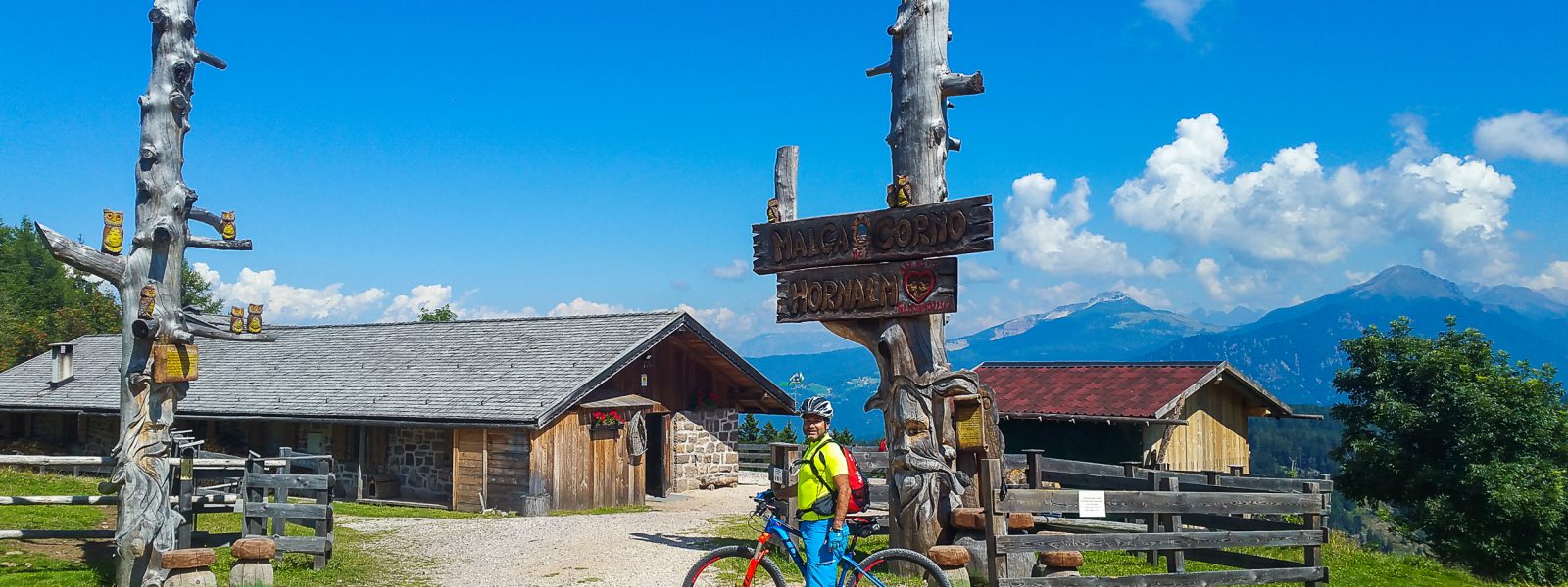
Along the old railway road which takes you to Truden. From here you follow the European long distance trail E5 to Trudner Horn (1,830m) in the nature park with the same name. Now great trails through forests and old cart paths as a descent lie ahead. From Kanzel point you once again have a great view over the whole of Unterland from Bozen to Salurn.
| Distance: | No data |
| Minimum elevation: | No data |
| Maximum elevation: | No data |
| Elevation gain (~): | No data |
| Elevation loss (~): | No data |
| Duration: | No data |
 Vineus. New! Appartments, suites and rooms
 Goldene Traube, Panorama & Überbacherhof. B&B, apart., re...
 Söllerhof. Modern appartments. Large terrace in the vines
 Hotel Pernhof. Suites & Apartments, restaurant, sauna