| Distance: | No data |
| Minimum elevation: | No data |
| Maximum elevation: | No data |
| Elevation gain (~): | No data |
| Elevation loss (~): | No data |
| Duration: | No data |
Tour Description:
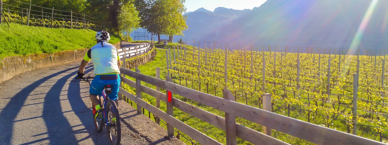
This tour leads into one of the most impressive natural landscapes south of Tramin – the Kaltwassertal (Cold Water Valley), located on the edge of the Trudner Horn Nature Park. Starting in Tramin, you follow the Adige Valley cycle path to Neumarkt, then steadily climb along the former route of the Val di Fiemme railway to Montan/Kaltenbrunn. From there, the real ascent begins: a combination of forest and mountain roads leads up to Truden, a picturesque mountain village at over 1,100 m.
From Truden, the route becomes truly idyllic – a steadily rising forest road winds northeast through woods and past clear mountain streams along the Kaltwassertal. After gaining around 350 vertical meters, you reach the Zisssattel (Passo Cisa) at about 1,450 m. A few minutes later, you arrive at the sunny Krabesalm (1,539 m) – a traditional alpine hut with rustic charm, panoramic views of the Lagorai mountains, and the perfect spot for a well-earned break.
The return follows the same route downhill to Montan and then back to Tramin – perfect for a relaxed finish to the ride.
Recommended Equipment:
Mountain bike with good low gearing, helmet, gloves, tool kit. A strong light is advisable for the railway tunnels near Montan. In summer: sun protection, plenty of water, and possibly a light buff (due to dust on forest roads).
Highlights & Tips:
Tour Summary:
Distance: 51,5 km
Elevation gain: approx. 1.414 m
Difficulty: difficult
| Distance: | No data |
| Minimum elevation: | No data |
| Maximum elevation: | No data |
| Elevation gain (~): | No data |
| Elevation loss (~): | No data |
| Duration: | No data |
 Goldene Traube, Panorama & Überbacherhof. B&B, apart., re...
 Söllerhof. Modern appartments. Large terrace in the vines
 Vineus. New! Appartments, suites and rooms
 Hotel Pernhof. Suites & Apartments, restaurant, sauna