| Distance: | No data |
| Minimum elevation: | No data |
| Maximum elevation: | No data |
| Elevation gain (~): | No data |
| Elevation loss (~): | No data |
| Duration: | No data |
Trail description
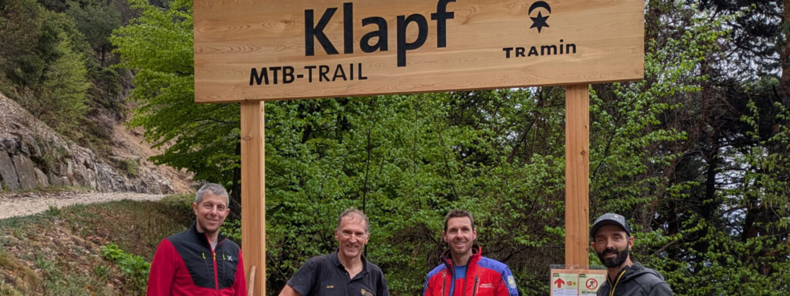
The Klapf & Wasserfall Trail above Tramin expanding the local bike offering with a modern, nature-oriented flow trail. At around 1,000 metres in length, the trail impresses with a steady, gentle gradient and a comfortable width of approximately 1.5 metres. This makes it suitable for both ambitious mountain bikers and e-mountain bike riders.
Right from the starting point, you are rewarded with stunning view of Tramin, with its apple orchards stretching all the way to the Dolomites. – the perfect beginning for a varied descent through light woodland along the Klapf spring. The trail follows the natural terrain, offering a harmonious mix of flowing turns, small berms and natural sections – pure riding fun without artificial elements.
Recommended equipment
The Klapf Trail stands for a conscious biking experience: not extreme, but smooth, controlled and closely connected to the surrounding landscape. It’s not about pure speed, but about the balance between movement, nature and panoramic views. The trail blends seamlessly into its environment and perfectly complements the network of paths along the forest edge.
Highlights and tips
Please follow these rules to ensure safe and respectful use:
The signage along the trail is mandatory and ensures orientation and safety.
Trail overview
Our tip
Combine the trail with a scenic uphill ride through the vineyards of Tramin towards the Klapf spring. Whether sporty or relaxed with an e-bike, the combination of views, nature and descent makes this tour a true highlight.
| Distance: | No data |
| Minimum elevation: | No data |
| Maximum elevation: | No data |
| Elevation gain (~): | No data |
| Elevation loss (~): | No data |
| Duration: | No data |
Accommodation in Tramin
Ads
Available accommodation
 Goldene Traube, Panorama & Überbacherhof. B&B, apart., re...
 Rebenheim. New rooms and new breakfast room
 Vineus. New! Appartments, suites and rooms
 Gartenheim. Quiet, central, breakfast under vines, pool & gar...
 Hotel Pernhof. Suites & Apartments, restaurant, sauna
 Urbanhof. Quiet place with pool.