| Distance: | No data |
| Minimum elevation: | No data |
| Maximum elevation: | No data |
| Elevation gain (~): | No data |
| Elevation loss (~): | No data |
| Duration: | No data |
Tour Description:
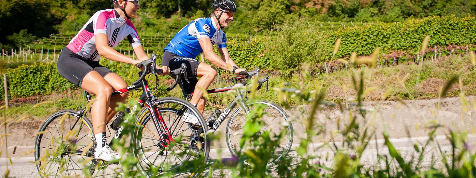
This extended cycling tour connects South Tyrol’s lowlands with Trentino, following the Adige River through apple orchards, wine villages, and sun-drenched landscapes. With minimal climbs and well-maintained paths, it’s the perfect route for road cyclists, gravel riders, e-bikers, and leisure cyclists who enjoy combining distance, scenery, and cultural experiences.
Starting in Tramin, the route leads via Neumarkt to the Adige Cycle Path, which heads south through the wide valley floor to Salurn, where you cross the language border into Trentino. After San Michele all’Adige, you reach the heart of the Piana Rotaliana, one of Italy’s most prestigious wine-growing areas – known for the bold red Teroldego – all the way to Zambana.
Quiet side roads and bike paths guide you through villages like Nave San Rocco, Mezzolombardo, and Mezzocorona, crossing the Noce River in a wide loop back to the Adige. Near Roverè della Luna, you re-enter South Tyrol and follow familiar paths through the fruit-growing region back to Tramin.
Recommended Equipment:
It is recommended to use a road bike, touring bike, gravel bike, or e-bike. Wearing a helmet is advised, and it is important to bring sun protection and plenty of water. For longer rides, it is useful to have a pump and a spare tube.
Highlights and Tips:
Technical data:
| Distance: | No data |
| Minimum elevation: | No data |
| Maximum elevation: | No data |
| Elevation gain (~): | No data |
| Elevation loss (~): | No data |
| Duration: | No data |
 Söllerhof. Modern appartments. Large terrace in the vines
 Goldene Traube, Panorama & Überbacherhof. B&B, apart., re...
 Vineus. New! Appartments, suites and rooms
 Hotel Pernhof. Suites & Apartments, restaurant, sauna