| Distance: | No data |
| Minimum elevation: | No data |
| Maximum elevation: | No data |
| Elevation gain (~): | No data |
| Elevation loss (~): | No data |
| Duration: | No data |


The Cholera Trail, despite its unusual name, is a popular walking path in Tramin. Originally, it served as a detour in the 19th century to avoid contact with cholera sufferers traveling from Kaltern to Kurtatsch.
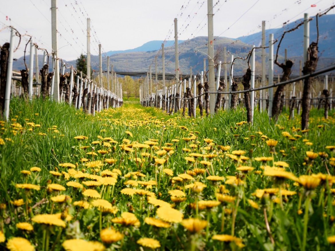
Directions: We start at the Rathausplatz square. From there, the path leads along Julius-von-Payer-Straße to Julius-von-Zallingerstraße. After the G’Würzerkeller wine cellar, we continue to the intersection for Neumarkt, where we turn left (signposted CH). After about 30 meters, follow Steinackerstraße through the vineyards to the orchards, where the Choleraweg (CH) signpost points us to the left. Vineyards and fruit trees line the level hiking trail all the way to the Weinstraße (Weinstraße). Shortly before this, at a wooden bridge, we turn left and return to the Rathausplatz via “In der Au” street and Hans-Feur-Straße. This walk is a special experience, especially during the flowering season. It’s also suitable for an umbrella-style stroll.
| Distance: | No data |
| Minimum elevation: | No data |
| Maximum elevation: | No data |
| Elevation gain (~): | No data |
| Elevation loss (~): | No data |
| Duration: | No data |
Accommodation in Tramin
Ads
Available accommodation
 Hotel Pernhof. Suites & Apartments, restaurant, sauna
 Gartenheim. Quiet, central, breakfast under vines, pool & gar...
 Urbanhof. Quiet place with pool.
 Vineus. New! Appartments, suites and rooms
 Goldene Traube, Panorama & Überbacherhof. B&B, apart., re...