| Distance: | No data |
| Minimum elevation: | No data |
| Maximum elevation: | No data |
| Elevation gain (~): | No data |
| Elevation loss (~): | No data |
| Duration: | No data |

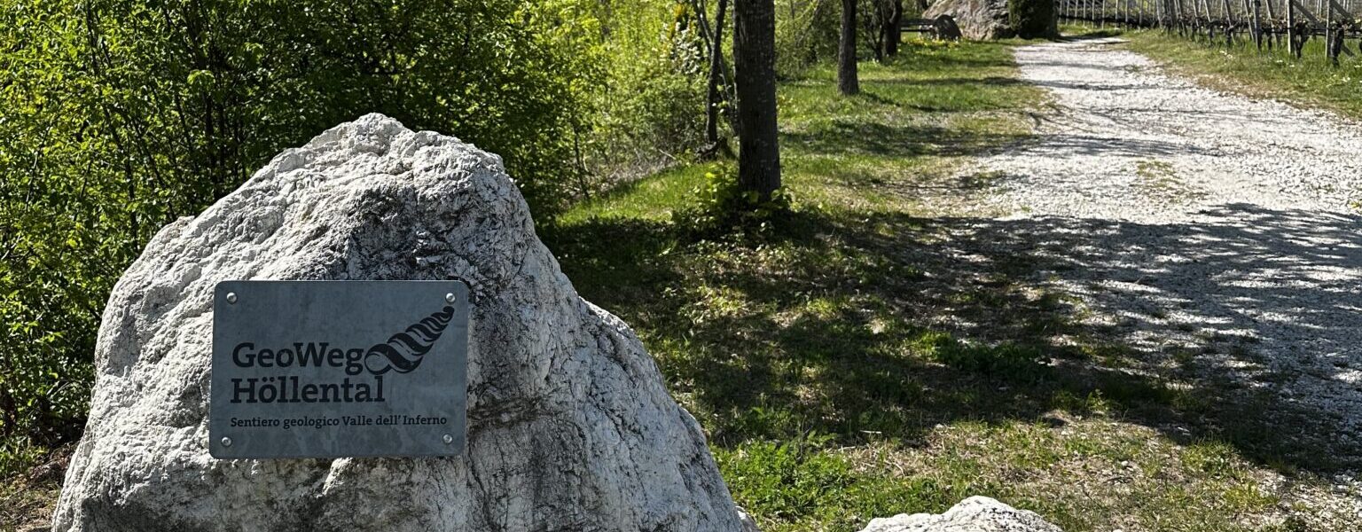

A trail full of stories from stone – observe, understand, marvel!
Welcome to the Geo Trail Tramin – a natural science theme trail that gives insights into the powerful geological processes that shaped the Höllental and the landscape around Tramin.
Whether as a short, informative walk or as an extended circular hike – the Geo Trail offers fascinating stations about Earth’s history, the power of natural forces and long-extinct life forms.
Along the Höllental stream, hikers discover impressive rock formations, traces of mudslides, millions of years old rocks and even fossils – embedded in a charming landscape of vineyards and panoramic views over the South Tyrolean lowlands.
Route description
The Geo Trail starts opposite the Hotel Winzerhof in Tramin. A gravel path leads along the Höllental stream and at the beginning, vineyards accompany us on the right. A few minutes later, we reach a striking tufa rock with the shrine of St. Nepomuk – an impressive testimony of an old mudslide.
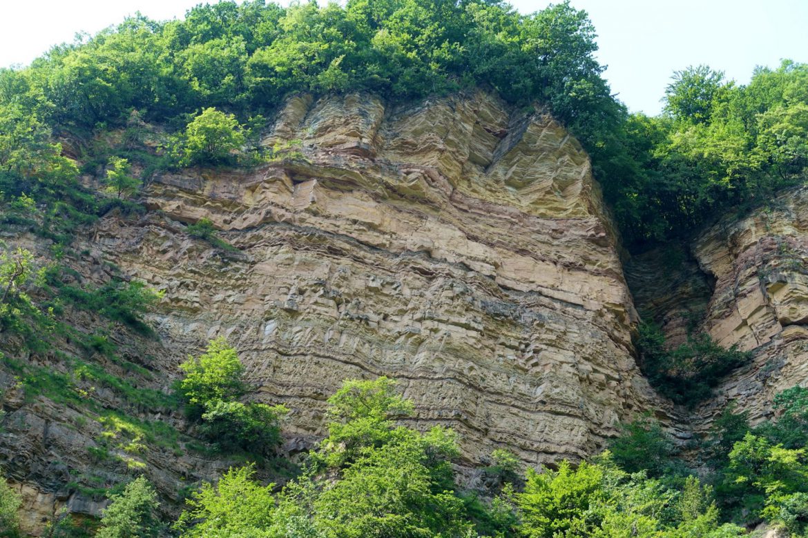
Information boards along the way tell the story of the 1986 mudslide and refer to the Hoamet Tramin Museum, which provides further information. Other boards illustrate rock layers from Montan to the Weißhorn and Schwarzhorn and present fossils and rock fragments from the region.
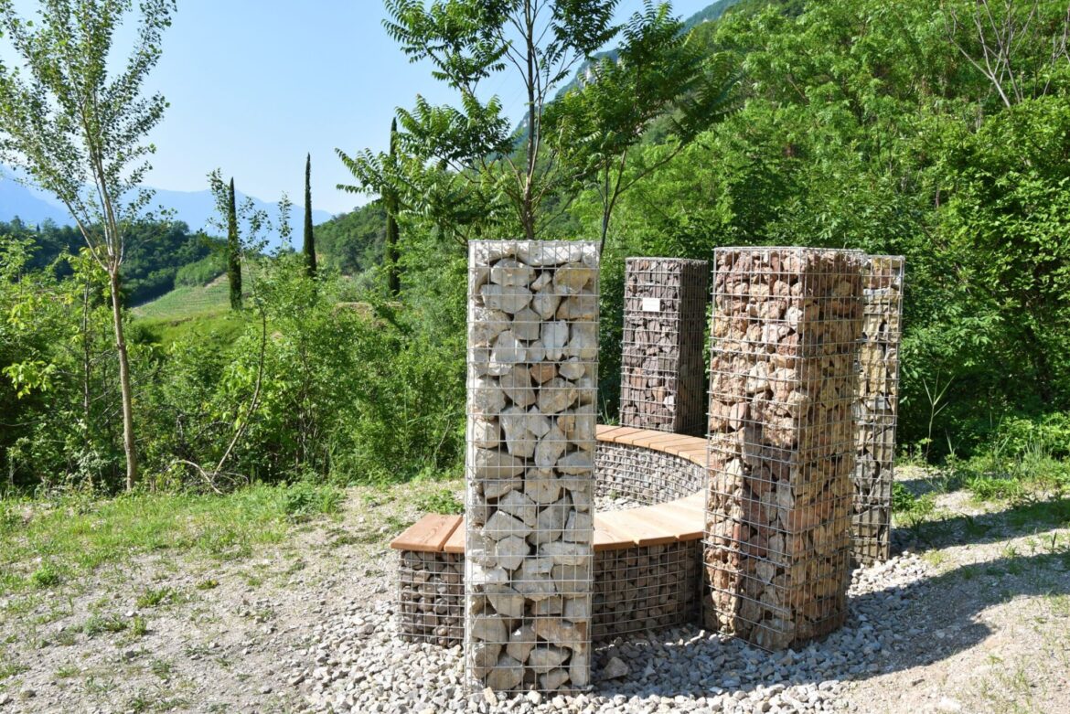
A special highlight is the resting island with five columns and a bench inviting you to linger. Typical types of stones from the area are exhibited there – real “petrified documents” from Earth’s history.
At the end of the short theme trail, a final station explains the layer sequence at the outcrop opposite the dam – if you look closely, with a bit of luck, you can even discover fossils in the stream bed.
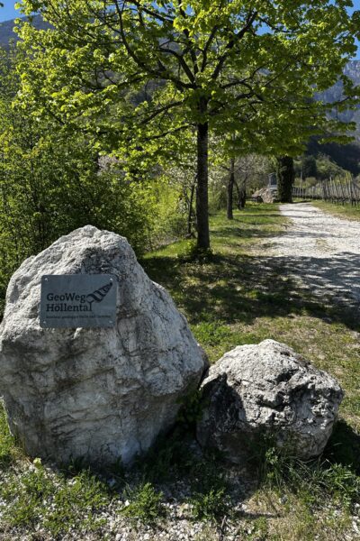
A trail that connects nature, time and knowledge
Please note: The Geo Trail is publicly accessible but runs partly close to private property. We kindly ask all visitors to be considerate and respectful towards nature.
For walking enthusiasts: Extended circular hike
Those who want to extend the Geo Trail follow signpost No. 10 to the Gummererhof, then turn left into trail No. 4 towards Zogglerwiese and return via Söll and the Nature Adventure Trail back to Tramin.
Important information at a glance:
Here you can find the flyer for our themed trails.
| Distance: | No data |
| Minimum elevation: | No data |
| Maximum elevation: | No data |
| Elevation gain (~): | No data |
| Elevation loss (~): | No data |
| Duration: | No data |


Accommodation in Tramin
Ads
Available accommodation
 Urbanhof. Quiet place with pool.
 Gartenheim. Quiet, central, breakfast under vines, pool & gar...
 Hotel Pernhof. Suites & Apartments, restaurant, sauna
 Vineus. New! Appartments, suites and rooms
 Goldene Traube, Panorama & Überbacherhof. B&B, apart., re...