| Distance: | No data |
| Minimum elevation: | No data |
| Maximum elevation: | No data |
| Elevation gain (~): | No data |
| Elevation loss (~): | No data |
| Duration: | No data |

Mountain – hiking experience with a view
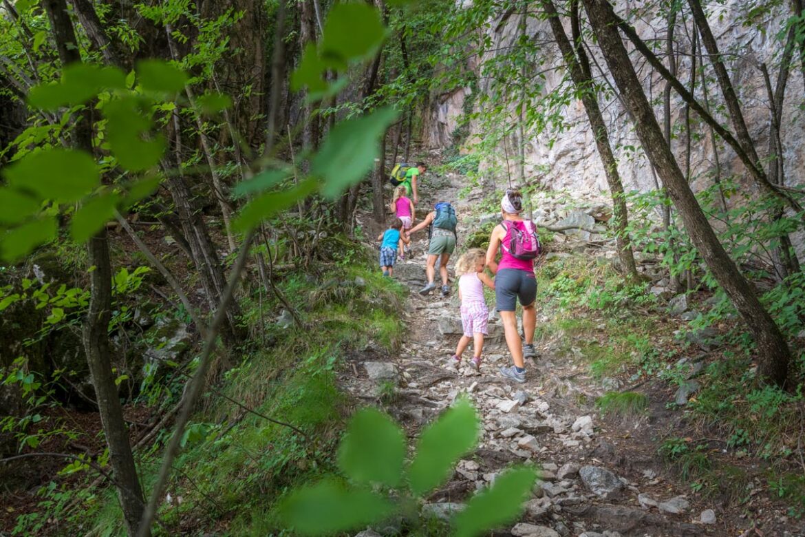
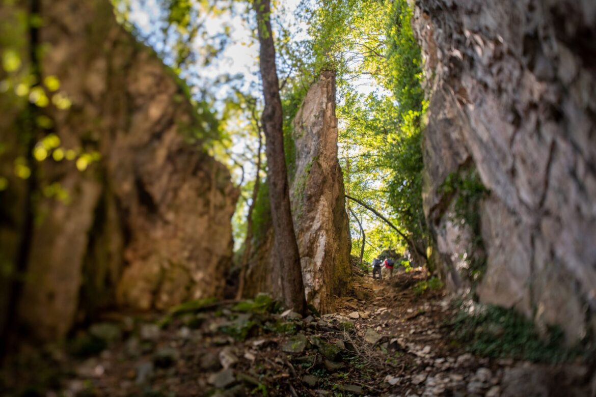
The hike begins at the town hall square in Tramin. From there, the steep Schneckenthalstraße leads uphill, past the nursing home, then turns left, walks past the beehive, and along the Traminer Kreuzweg (Church Way) to the junction with the WK (Kastelaz hiking trail). We walk south along this pleasant forest path for about 1.5 hours until we reach the right-hand junction with Lochweg No. 5. This path, steep in places, leads through the eponymous “Grauner Loch” (Graun Hole) to Graun.
In Graun, several places to stop for a break, such as the Gasthof Caroline and the Lenzenhof, invite you to take a break. On the way back, we can either take the same route or hike north from Graun along the Zogglerhof forest path (trail no. 9) to the Zogglerwiese meadow, about an hour further on. There, we turn right onto the newly developed trail no. 4 and return to Tramin via trail no. 6.
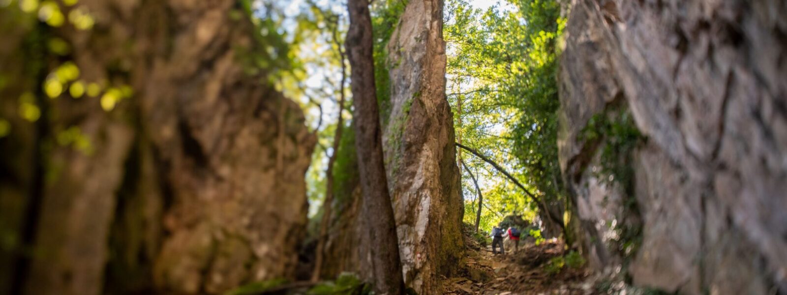
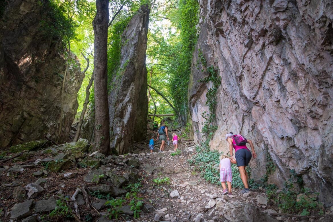
The Lochweg offers impressive natural experiences. The Grauner Loch: A striking rock crevice that gives the trail its name.
| Distance: | No data |
| Minimum elevation: | No data |
| Maximum elevation: | No data |
| Elevation gain (~): | No data |
| Elevation loss (~): | No data |
| Duration: | No data |
Accommodation in Tramin
Ads
Available accommodation
 Hotel Pernhof. Suites & Apartments, restaurant, sauna
 Gartenheim. Quiet, central, breakfast under vines, pool & gar...
 Vineus. New! Appartments, suites and rooms
 Goldene Traube, Panorama & Überbacherhof. B&B, apart., re...
 Urbanhof. Quiet place with pool.